
Forecasters anticipate a potent El Niño event with a high probability of becoming "very strong," potentially leading to historically dangerous extreme weather conditions globally and exacerbating existing heatwaves.
The consensus among global weather experts and a convergence of climate models indicate an elevated likelihood of a significant El Niño pattern developing. The U.S. National Oceanic and Atmospheric Administration's Climate Prediction Center reported a 97% chance of El Niño being "strong" or "very strong" over a three-month period concluding in December, with an 81% probability of it reaching "very strong" status. Colloquially, such intense events are referred to as "super" El Niños.
El Niño, a climate pattern characterized by warmer sea surface temperatures in the central and eastern tropical Pacific Ocean, typically emerges every two to seven years and lasts between nine to 12 months. It is driven by the weakening or reversal of the equatorial trade winds, which shifts warm water eastward, creating a feedback loop that further amplifies the warming trend. This phenomenon is now officially declared to be underway, though its full effects will take time to manifest.
The potential impacts of this developing El Niño are far-reaching. It is associated with increased storminess in the southern United States, including California and Texas, during winter months, while conversely leading to drier conditions in the Pacific Northwest. Globally, Australia and northern South America are expected to experience drought, while eastern Africa may see increased rainfall. Furthermore, El Niño is projected to amplify the risk of heatwaves on land and at sea, compounded by human-induced global warming.
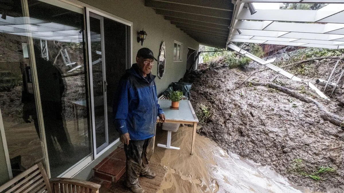
For Southern California, a "very strong" El Niño typically correlates with a higher probability of above-average rainfall, raising concerns about potential flash floods and landslides. Historical data from previous strong El Niños, such as 1982-83 and 1997-98, show downtown Los Angeles receiving more than double its average rainfall. While the connection is not absolute, as evidenced by a weaker rainfall during the 2015-16 event, the trend suggests a heightened risk of severe precipitation. The region also faces an increased possibility of high-tide flooding and coastal erosion.
Scientists are particularly concerned about the confluence of El Niño with already record-high global ocean temperatures. This combination is expected to boost overall global temperatures, potentially leading to new temperature records in the coming months. Warming ocean waters can intensify storms, increase evaporation and precipitation, contribute to sea-level rise, accelerate ice melt, and stress marine ecosystems. The World Meteorological Organization has noted that El Niño events act as a heat source for the atmosphere, influencing global temperatures and weather patterns.