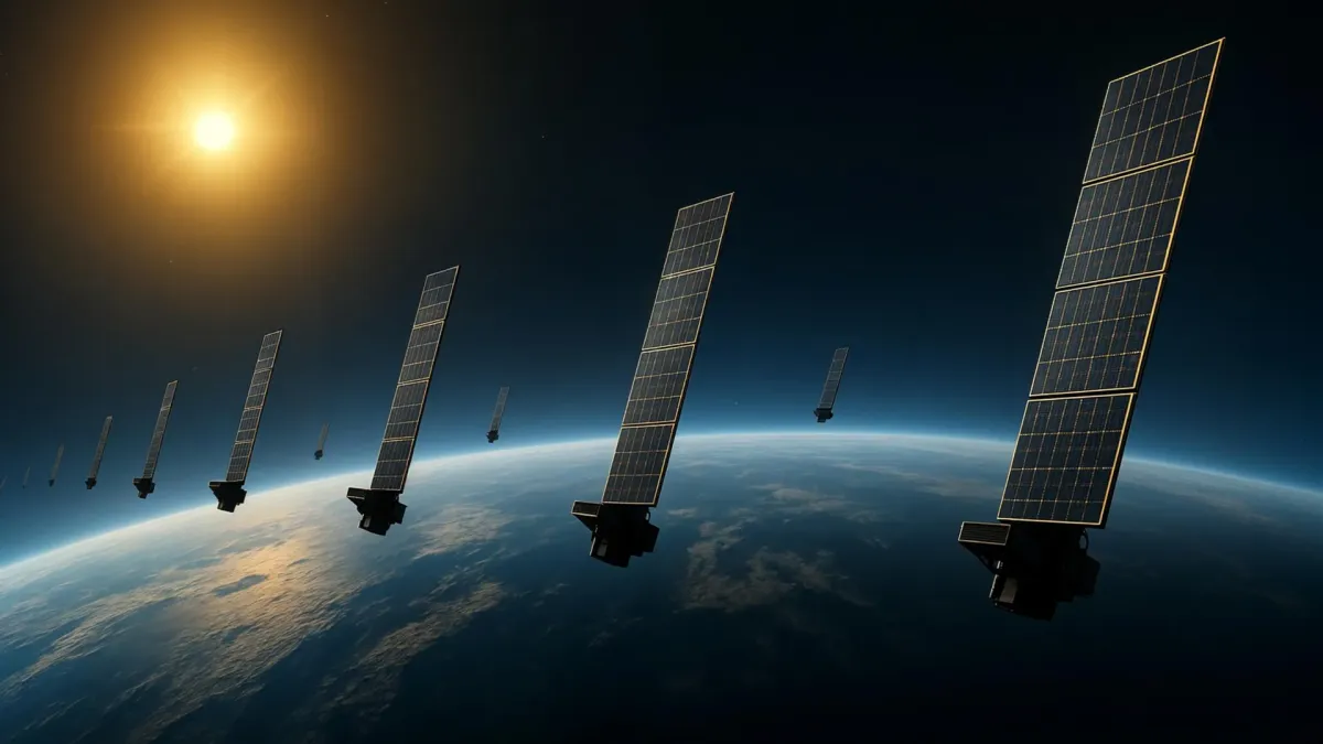
Scientists have developed a groundbreaking method to use Starlink satellites as a massive scanner for Earth's upper atmosphere, offering a new way to understand and map this crucial but hard-to-observe region.
The area around Earth is becoming increasingly crowded with thousands of satellites and space debris in low Earth orbit. Even at altitudes of several hundred kilometers, the faint drag from Earth's upper atmosphere can slow down satellites. Precisely measuring atmospheric density at these heights is vital for predicting satellite movements and minimizing collision risks.
The upper atmosphere, primarily composed of neutral gas known as the thermosphere (making up over 99% of it), is difficult to measure. In contrast, the ionized gas of the ionosphere, less than 1% of the atmosphere, is easier to observe because it affects radio wave travel. Accurate thermospheric density data, which relates to the density of this neutral atmosphere between roughly 100 and 1000 kilometers above Earth, could significantly advance upper atmosphere research and aid space engineering.
Researchers at Kyoto University have pioneered a new technique, applying tomography – a method often used in medical imaging – to analyze Earth's upper atmosphere. By examining the atmospheric drag that causes Starlink satellites' orbits to gradually decay, the team estimated thermospheric density for approximately 1,200 satellites flying at an altitude of 482 kilometers. This analysis generated a two-dimensional map of thermospheric density at around 500 kilometers, marking the first tomographic study of its kind.
The density patterns observed closely matched data from the European Space Agency's SWARM satellites. This new approach builds upon previous work by the same team, which used Starlink's Two-Line Element (TLE) data to estimate changes in thermospheric density over time and altitude. The latest research adds a horizontal dimension, revealing the thermosphere's geographic structure by mapping density variations across latitude and longitude.
This innovative technique holds significant practical implications as the number of objects in orbit continues to rise. Improved atmospheric density information can lead to more accurate satellite motion predictions, thereby reducing the likelihood of collisions. The method also has the potential for near-real-time atmospheric density monitoring, which could enhance space weather forecasting and contribute to safer, more reliable satellite operations.