
A "super" El Niño event is now 95% likely to develop this year, with an increased chance of being the strongest since 1950, prompting officials in California and other regions to prepare for a potentially wet and destructive winter.
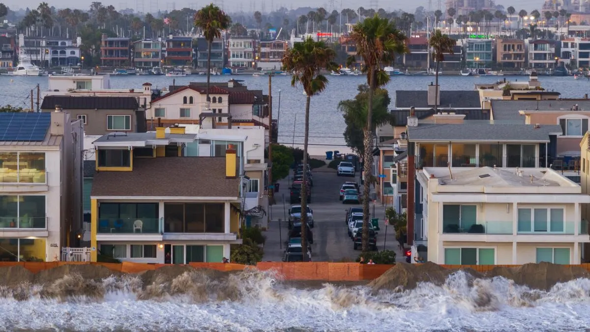
The National Oceanic and Atmospheric Administration's Climate Prediction Center reported that El Niño has intensified significantly over the past month. Historical data indicates that powerful El Niños, such as those in 1982-83, 1997-98, and 2015-16, have often brought above-average rainfall to Southern California, though the 2015-16 event, while strong in the ocean, did not result in increased precipitation but was linked to significant coastal erosion.
El Niño is characterized by warmer ocean waters in the central and eastern tropical Pacific and a weakening or reversal of trade winds, a shift that can direct potent tropical moisture towards Southern California. The current El Niño has a 69% probability of exceeding 4.5 degrees above the baseline temperature in the tropical Pacific, a threshold that has never been reached in the historical record dating back to 1950.
Michelle L’Heureux, the El Niño team lead for NOAA’s Climate Prediction Center, stated that reaching or exceeding this threshold would be unprecedented. The most potent designation for El Niño is "very strong," commonly referred to as "super" El Niño, requiring equatorial Pacific temperatures at least 3.6 degrees above baseline. NOAA forecasts a 95% chance that the current El Niño will be "very strong" between October and December.
While El Niño's impacts on rainfall and snowfall in Southern California typically become more pronounced from December onward, with January to March being the peak season, current effects on the West Coast are not definitively attributed to El Niño. NOAA research oceanographer Michael Jacox noted that a separate marine heat wave, particularly affecting Southern California, is contributing to current muggy conditions along some coastal areas. However, impacts related to El Niño could begin to manifest at any time, potentially originating from coastal trapped waves moving northward.
July ocean temperatures in the equatorial Pacific were the second highest on record, with temperatures already 2.41 degrees above baseline. The only stronger July reading in modern times occurred in 1997, when temperatures were 2.74 degrees above the baseline.