
Tropical Storm Rachel is projected to make landfall near the U.S.-Mexico border or in San Diego County as early as Saturday night, posing significant risks including severe coastal flooding. The storm's potential to strengthen before reaching the West Coast is unusual for the eastern Pacific, attributed to elevated ocean temperatures fueled by El Niño conditions and a marine heat wave.
The National Hurricane Center has issued a warning that Rachel, currently hundreds of miles offshore, could gain strength. This is an atypical behavior for storms in the typically cooler waters of the eastern tropical Pacific. However, ocean temperatures are currently 10 to 13 degrees Fahrenheit above normal, creating a more favorable environment for the storm's development. Climate scientist Daniel Swain noted that this event is a confluence of an early-arriving low-pressure trough off the California coast and record-warm ocean temperatures.
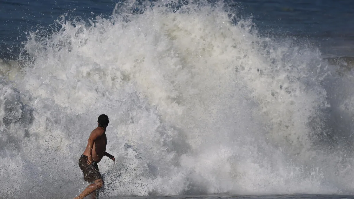
The National Weather Service in San Diego has issued a rare tropical storm watch for much of San Diego County, indicating the possibility of tropical storm-force winds within 48 hours. This is only the second time such a watch has been issued for California. Coastal flooding is identified as the primary concern, particularly for south-facing beaches, due to the combined effects of high tides, elevated water levels, and the incoming storm. Swells are expected to bring not only inundation but also hazardous surf conditions ranging from 3 to 6 feet, along with dangerous rip currents.
While the remnants of Rachel are anticipated to bring only light rainfall to most of Southern California from Sunday morning to Monday night, the Mojave Desert, Inland Empire, and parts of San Diego County could experience more substantial precipitation. The weather service warns of a moderate, 40% chance of excessive rainfall leading to flash flooding in areas like San Diego, El Cajon, Chula Vista, Escondido, Palm Springs, and Twentynine Palms. A lesser risk exists for flash flooding in other parts of Southern California and adjacent states.
Tropical storm strength has been rare in modern records for Southern California, with only two recorded instances: a significant storm in September 1939 that caused widespread flooding and deaths, and Hurricane Nora in September 1997, which, while briefly at tropical storm strength, spared California the worst of its impact. The current strong El Niño, predicted to be one of the strongest on record, increases the likelihood of weather patterns consistent with El Niño, though impacts are not guaranteed.