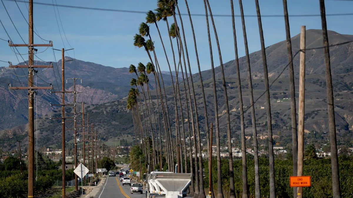
Southern California will experience elevated to critical fire weather conditions through next week, driven by the latest Santa Ana wind event and persistently high autumn temperatures.
The current Santa Ana wind event, which began with significant gusts ranging from 30 to 50 mph across Los Angeles and Ventura counties, is expected to peak on Saturday. Meteorologist Rich Thompson of the National Weather Service in Oxnard has identified the Western San Gabriels, Santa Susanas, Santa Monicas, and the Santa Clarita Valley as areas under red flag warnings from 2 a.m. to 6 p.m. on Saturday. These regions, along with much of Ventura County, will remain under a wind advisory until 2 p.m. Saturday.
While conditions are forecast to improve noticeably by Saturday evening and into early next week, the offshore flow of Santa Ana winds will maintain an elevated fire risk. Temperatures are projected to reach their peak this weekend, between the mid-80s and approximately 90 degrees, before cooling slightly into the 80s through the middle of next week. Weak offshore winds are expected to continue contributing to warm and dry conditions.
Beyond the immediate fire concerns, coastal areas along Southern California are facing hazardous conditions including dangerous rip currents and elevated surf expected to persist until Tuesday morning. The National Weather Service also indicated a potential for coastal flooding as early as next week. Looking further ahead, a shift to a cooler, unsettled weather pattern with a possibility of rain is anticipated for the weekend following next week.
Thompson cautioned that while a chance of rain exists for Southern California next weekend and into the following week, specific details remain uncertain. Residents are advised to remain alert to changing weather conditions.